The historic town of Nakfa embodies Eritrea's courage, steadfastness, tenacity, self reliance and resilience. For most part of the Armed Struggle for Independence and since, Nakfa has found a unique place in every Eritrean's heart. In fact, we can dare to say, except may be for Asmara (the capital city), no Eritrean town has as many poems and songs written about it as Nakfa does,
Once liberated by the Eritrean People's Liberation Army (EPLA) on March 23, 1977, the Ethiopian Army of Occupation, despite several attempts and massive offensives, was never allowed to set foot again in Nakfa. Between 1977 and 1991 Nakfa was considered as the icon of the Liberated areas. Eritrean independence became a reality because Nakfa didn't surrender.
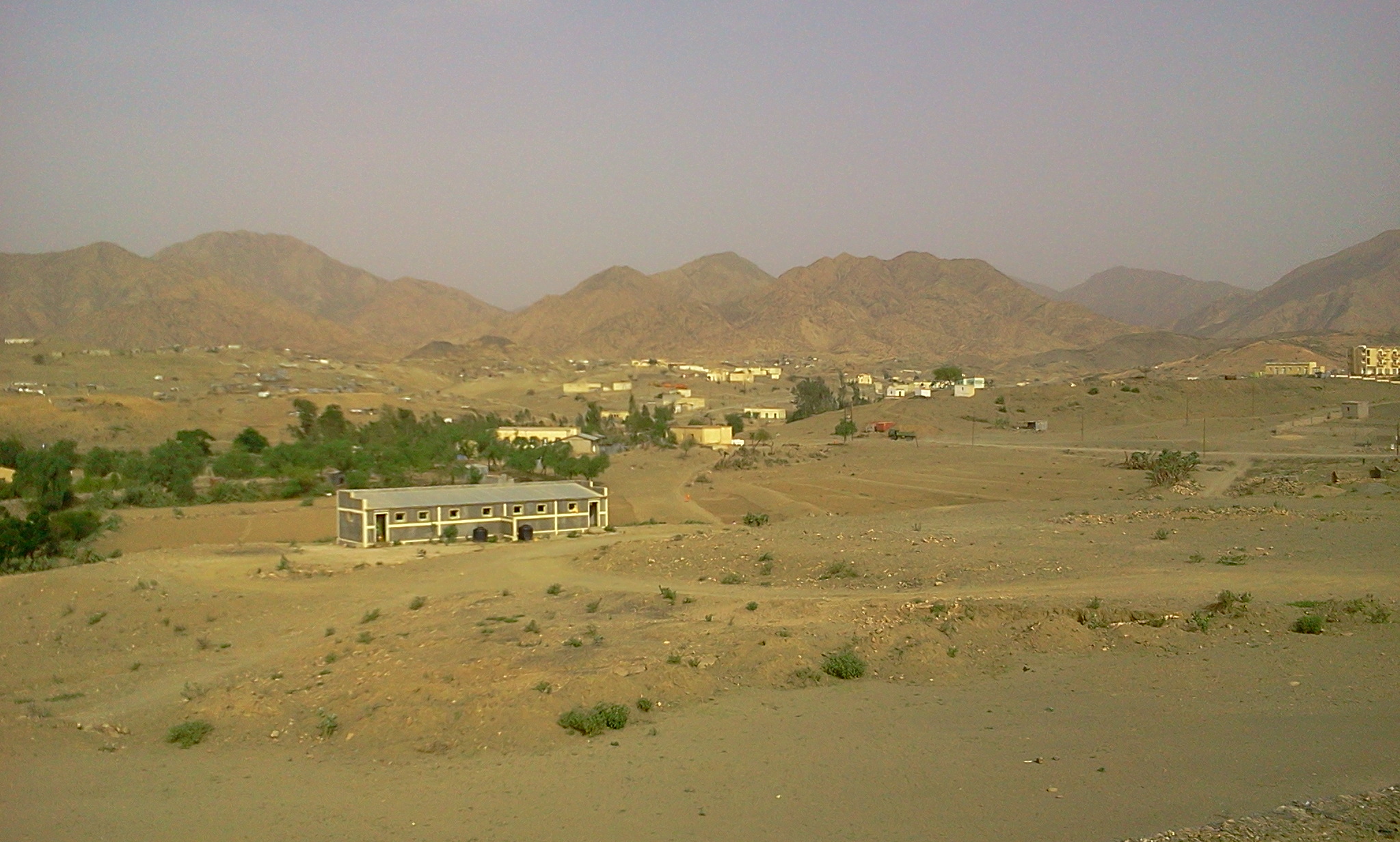
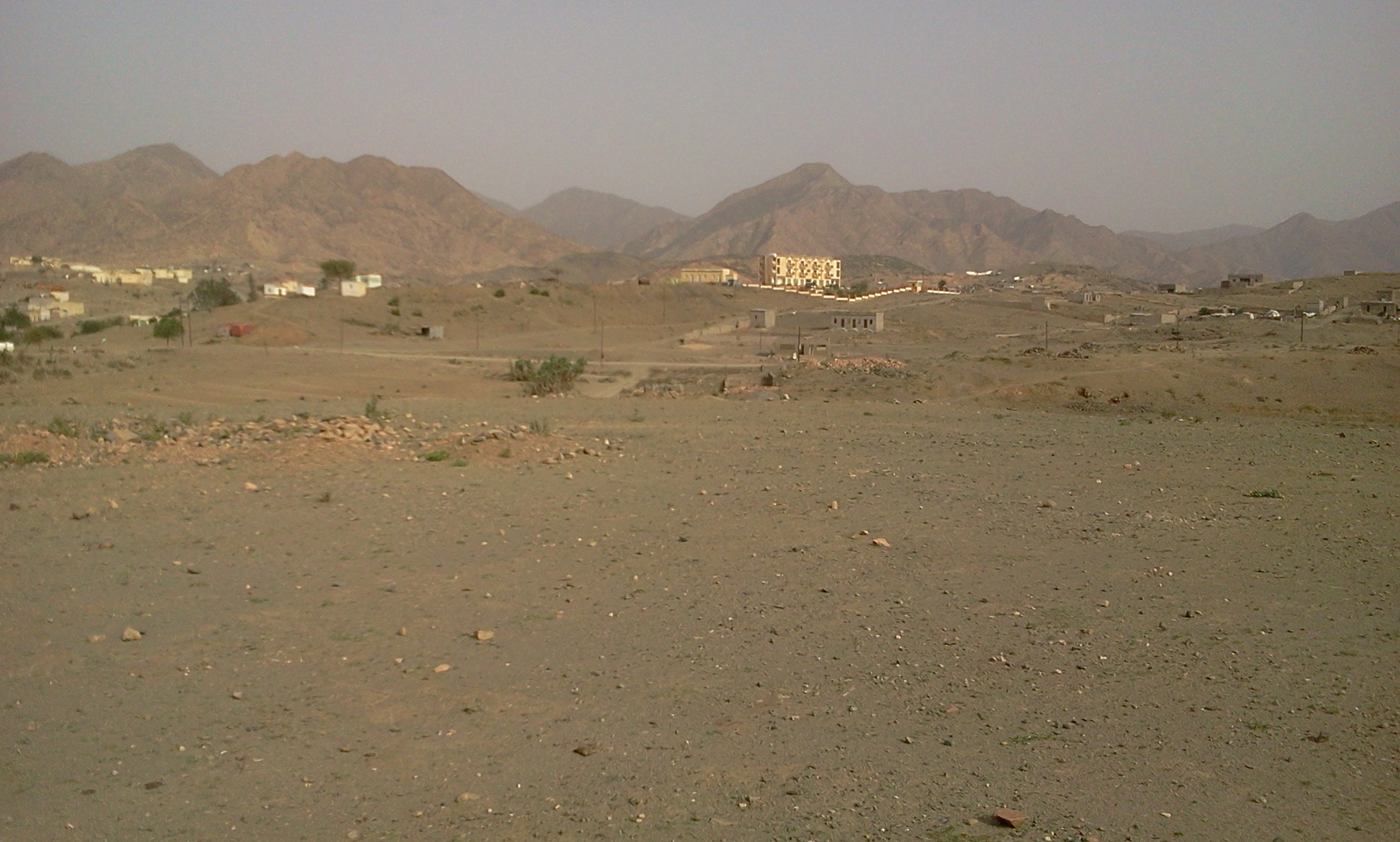
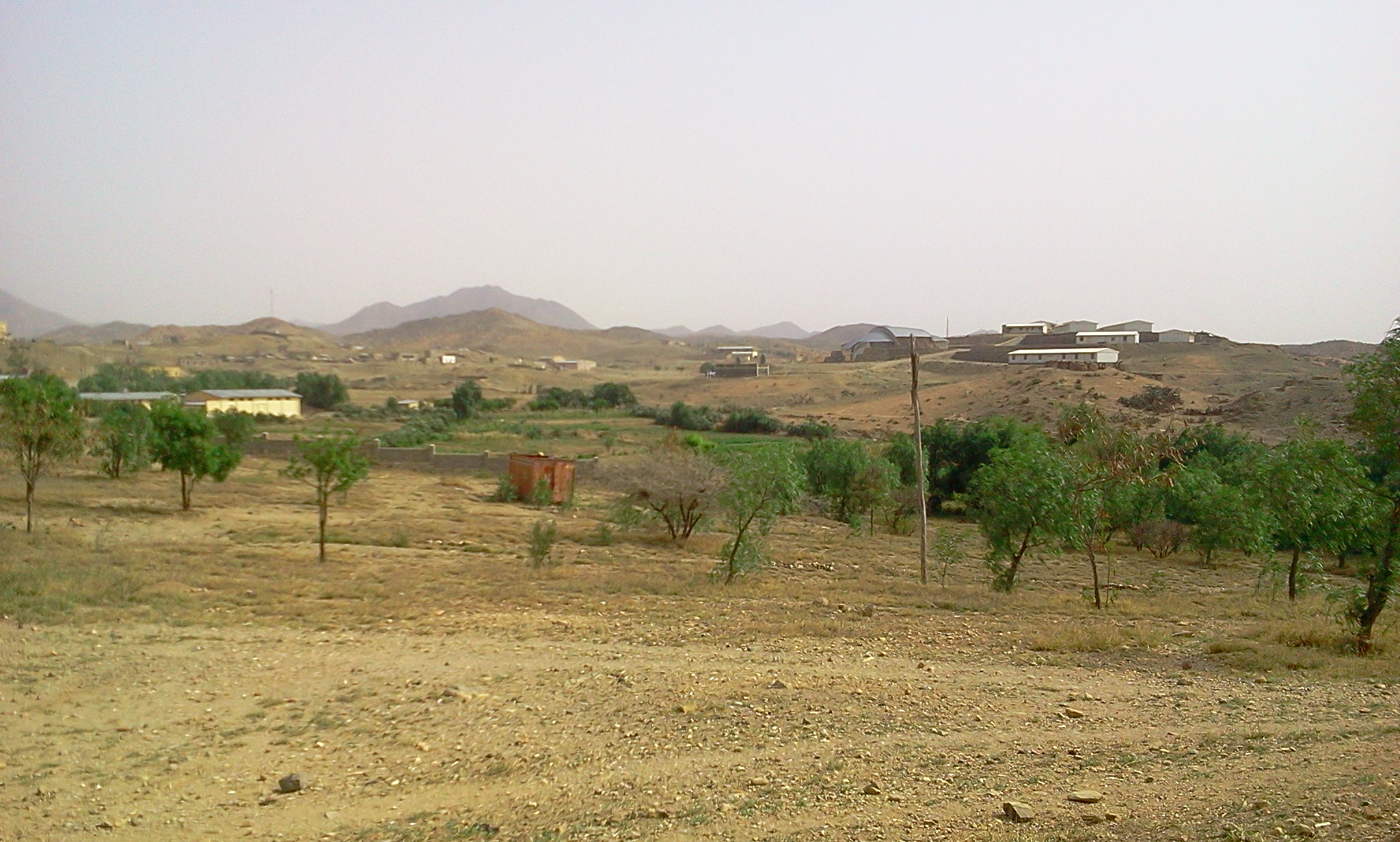
Nakfa is located 230 km north of Asmara, and about 130 km north of Keren. To reach Nakfa from Asmara one has to drive by way of Keren and Afabet. The name Nakfa is claimed to have come from the Tigre word “nekfa” which means “to go up”. Starting from the Italian colonial time up until 1995, Nakfa was the capital and largest town of the Sahel province, since 1995 it is the second (next to Massawa) largest town in the Northern Red Sea Region.
Nakfa sits at a plateau of an altitude around 1600 meters (5,250 ft), Nakfa is known for its moderate climate. Its annual temperature ranges from low of 10°C (50°F) in January to 30°C (86°F) in June. However, some times between the months of October and February the temperature can dip into the sub-freezing range.
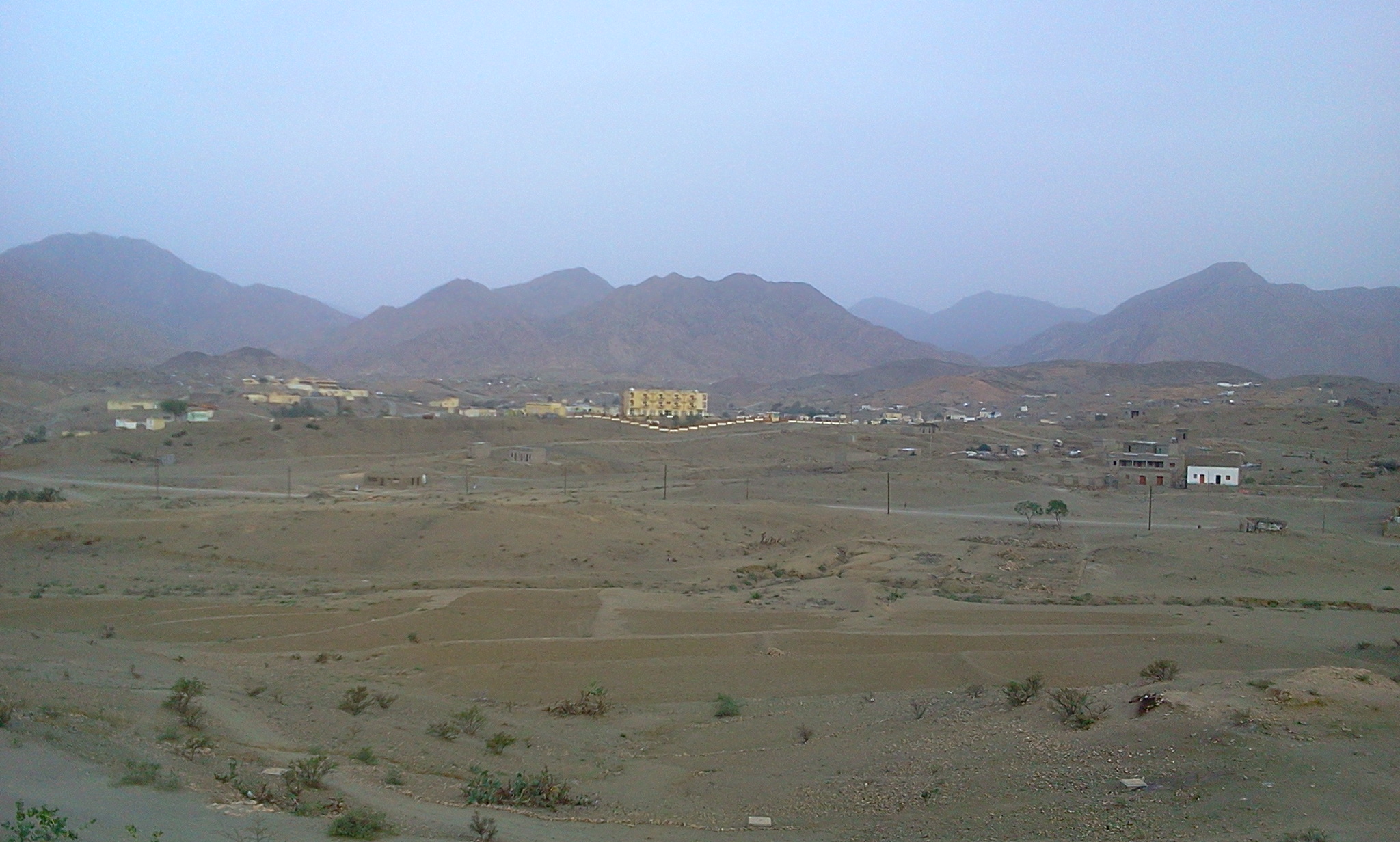
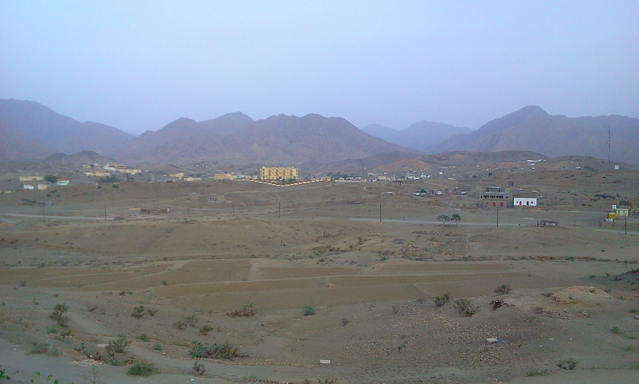
The town is surrounded by a chain of mountains separated by river valleys. Among the notable mountains, in a counterclockwise direction from the north of the town are: Mt. Tebayit, Mt. Wantay, Mt. Itchendeq, Mt. Antay, Mt. Qrinjhat and Mt. Denden. The highest of these is the Qrinjehat, the famous, however, is Denden. From 1979 until 1988 Denden was and anchor of the right flank of the Nakfa Front. The The river valleys around Nakfa are Abelo, Tsabra, Embalqo and Feleg. The fifth river, Me’o, flowing north to south, divides Nakfa into two. To the east of Denden are the Hedai Valley and east of that the Naro plain.
The EPLF first attacked Nakfa in September of 1975. A year later, on September 17, 1976, the six month siege to liberate Nakfa was launched. Despite the enemy’s repeated attempt to break out of the siege, the noose around the Ethiopian army stationed in Nakfa kept tightening and was not able to get any relief.
The liberation of Nakfa in March 1977 was the harbinger of what was to come. It created a domino effect and almost all major towns in Eritrea were liberated in the remaining months of 1977. In fact, except for four cities (Asmara, Assab, Barentu and Adi Keyih), all other towns and cities in Eritrea were liberated and the remaining cities were essentially under siege. For example the Eritrean trenches around Asmara were as close as Emba Derho from the north, Selae Daero from the South and Sedici in the east.
the Eritrean Liberation Front for its part has the following to its liberated column
The Ethiopian army was only able to gain control of these cities (except for Nakfa) in the second half of 1978 after it got a massive help from the Soviet Union and its Eastern European satellites. The Cubans, Libyans and South Yemeni were also involved in trying to save the Communist Government of Ethiopia from a total and complete defeat..
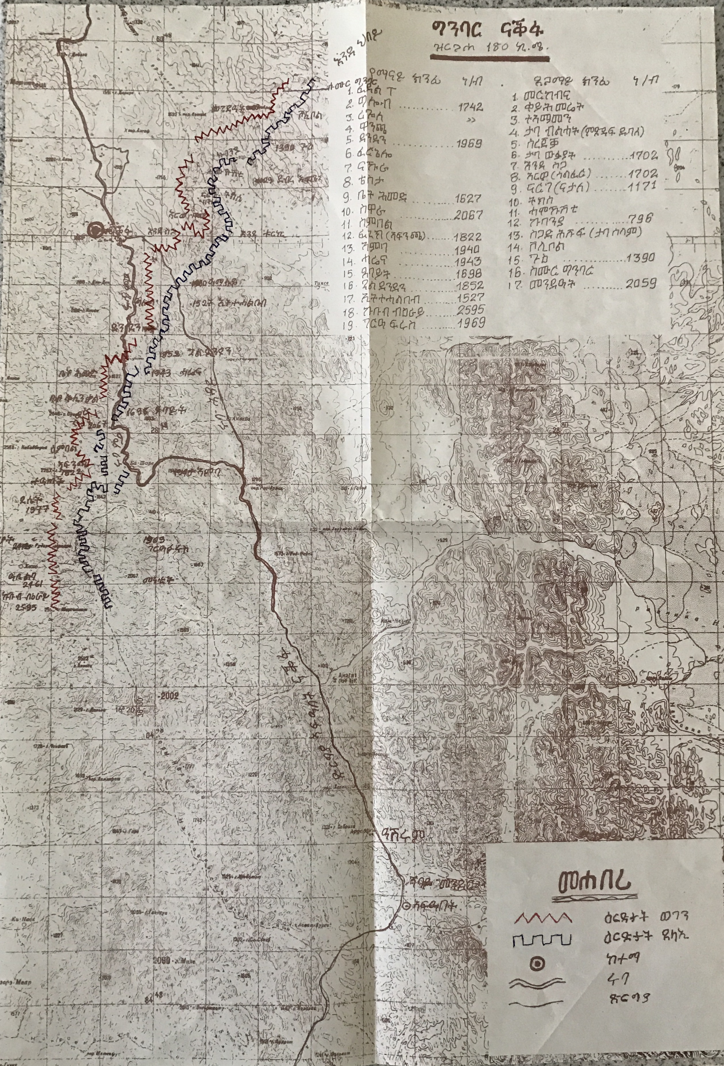
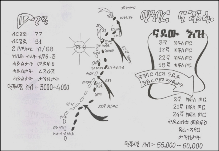
Established at beginning of the Derg’s 3rd offensive, in the beginning of February 1979, the Nakfa Front, left to right, had the following trenches of the EPLF’s four brigades 58, 51, 70 and 77:
The enemy trenches, on the other hand, were left to right along
Gaining confidence from all the modern weapons it acquired courtesy of the Soviet Union and fields hundreds of thousands of new recruits, the Ethiopian army launched its first of eight offensives in July-August 1978, followed by its 2nd offensive November of 1978. In July 1978 the EPLF declared its Strategic Withdrawal to the Sahel and the first and second offensives were fought in the southern and central parts of Eritrea. Starting in 1979 up until March 1988, most of the battles were along the three fronts in Sahil. The Halhal Front from the west, the Nakfa Front in the middle and the Northern Sahil Front. The most ferocious battles in the nine years and six offensives was along the Nakfa front and 55% of the over 90,000 Ethiopian army sustained in dead or wounded soldiers was along the Nakfa Front. The six successive offensives that were launched in Sahil to capture the EPLF rear base consisted of the following:
In all these the Ethiopian Army of Occupation sustained the following losses:
| Ethiopian Offensive |
Dead Soldiers |
Wounded Soldiers |
Weapons Captured |
Tanks Captured |
Vehicles Captured |
Tanks Destroyed |
Vehicles Destroyed |
|---|---|---|---|---|---|---|---|
| 3rd | 900 | 1,800 | 20 | 4 | 61 | ||
| 4th | 1,400 | 3,600 | 1,205 | 10 | 81 | ||
| 5th | 4,200 | 7,700 | 2,528 | 3 | 4 | 18 | |
| 6th* | 16,000 | 24,000 | 7,517 | 19 | |||
| 7th | 5,714 | 2,860** | 6 | 19 | |||
| 8th | 6,400 | 9,928 | 1,900 | 7 | 19 | ||
| Total | 34,614 | 55,864 | 16,010 | 49 | 4 | 100 | 118 |
Finally, the Ethiopian Army that was attempting to capture Nakfa were soundly defeated first at the Northern Sahil Front in March of 1984 and then four years later at the Battle of Afabet, March of 1988 not to ever set foot in Sahil again. The brilliant military offensive of the EPLF at the battle of Afabet together with the enormous loss the Ethiopian army suffered was described by the British historian Basil Davidson as the biggest since the May 1954 decisive defeat of the French colonial army in the hands of the Vietnamese in the Battle of Dien Bien Phu.
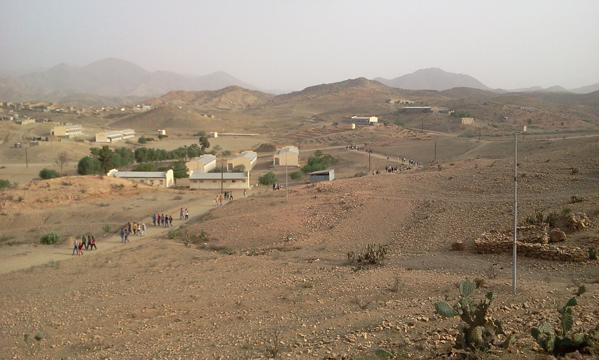
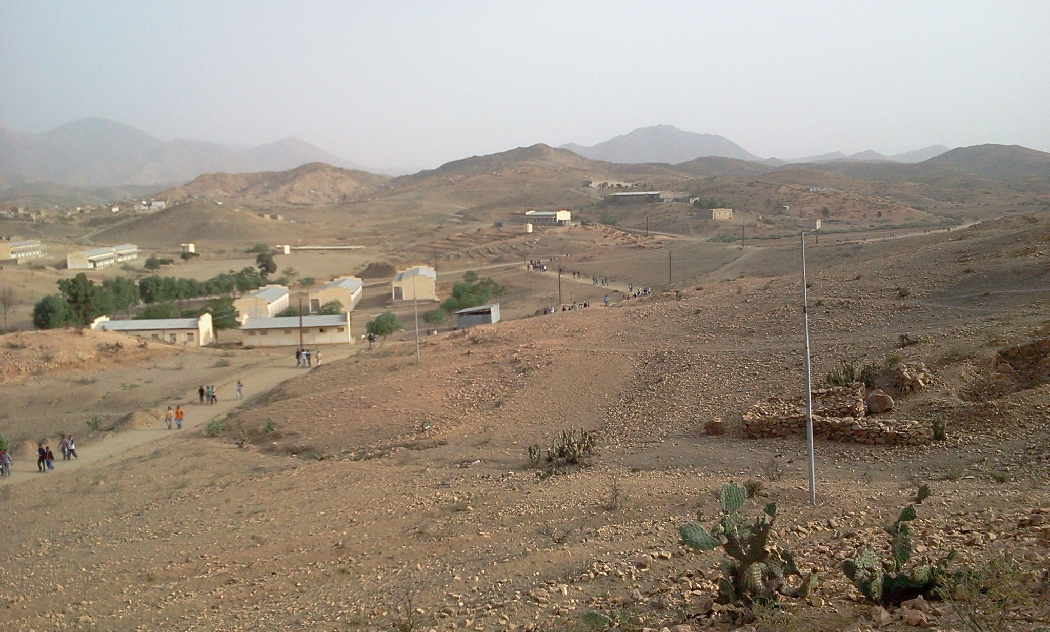
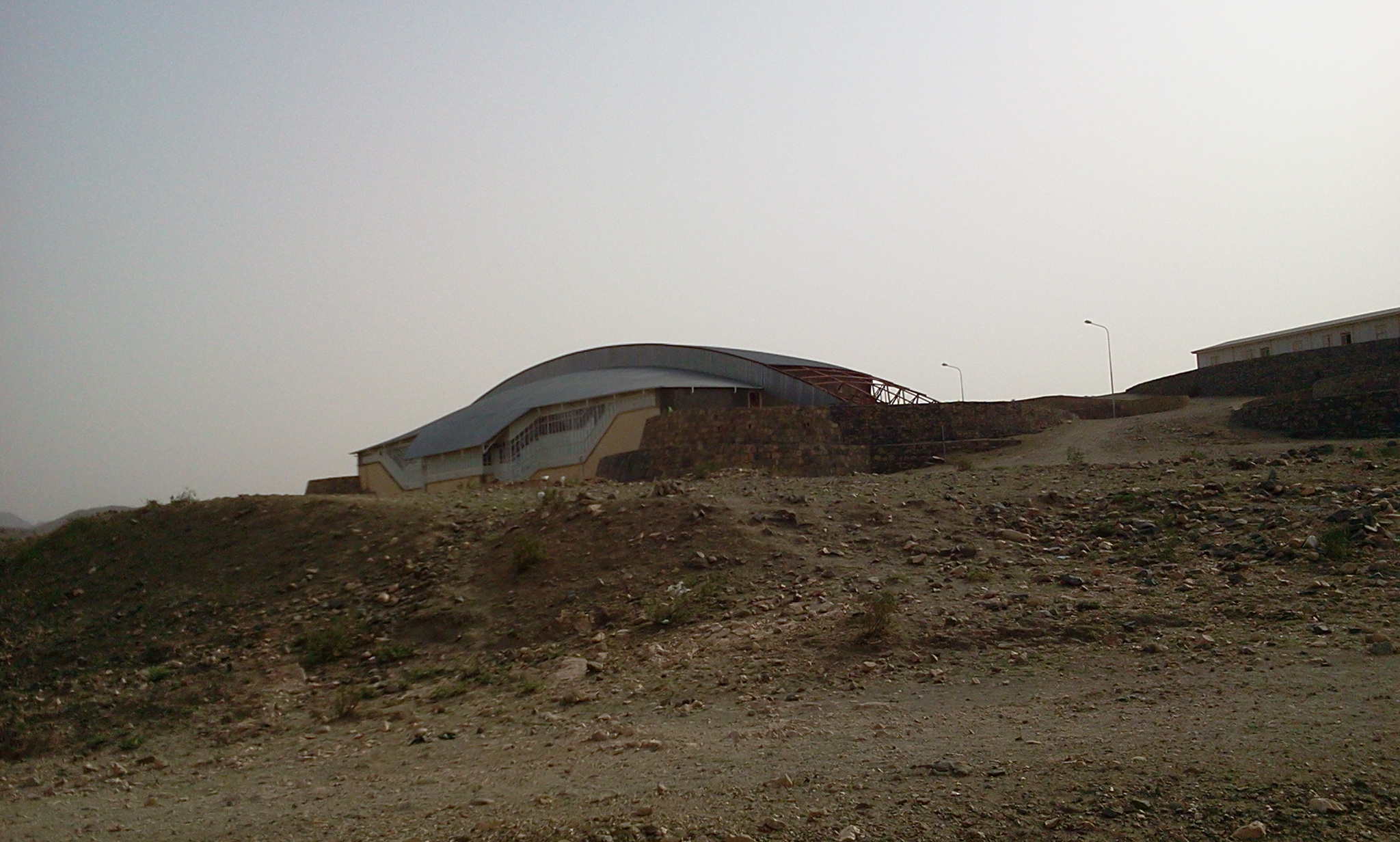
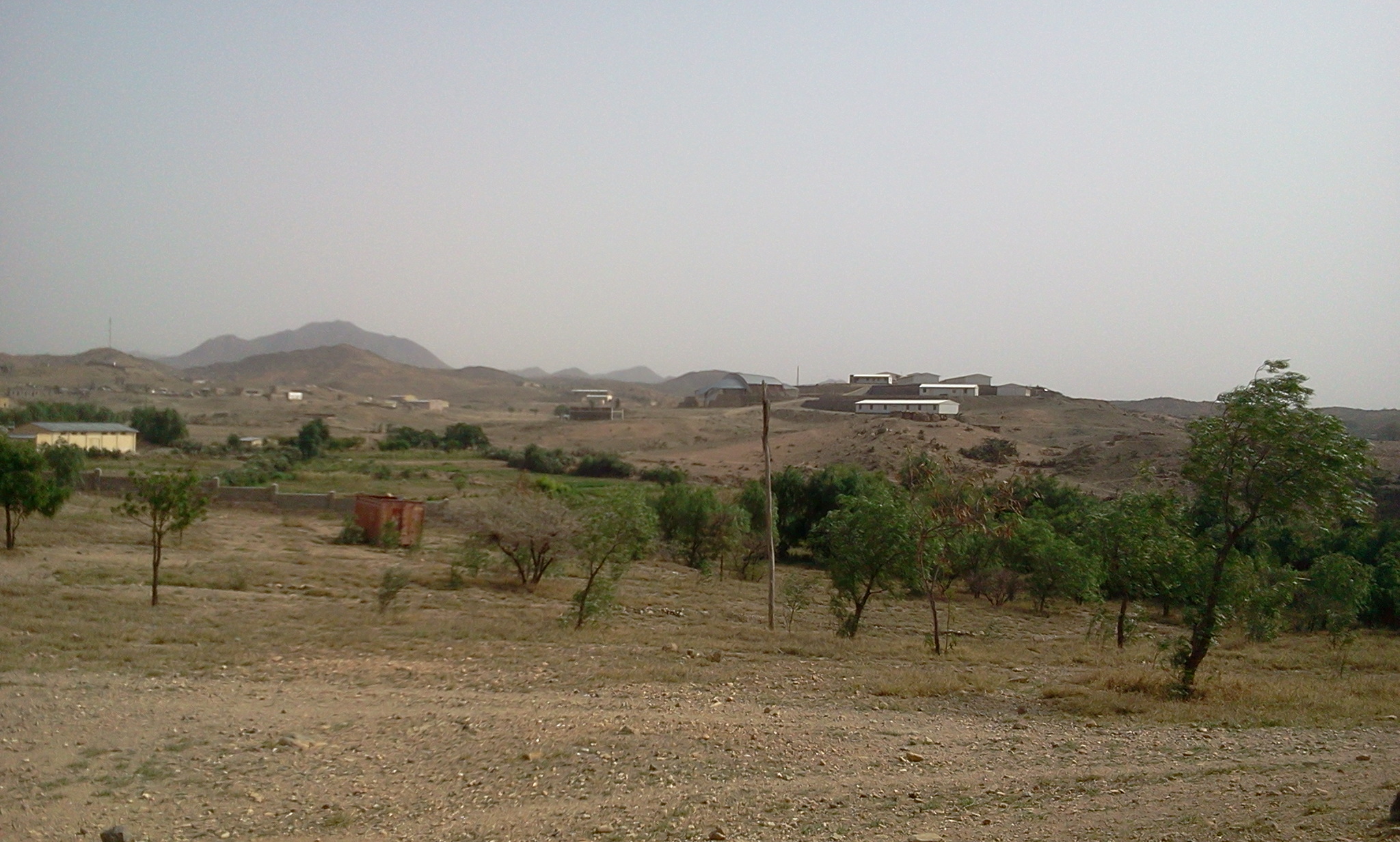
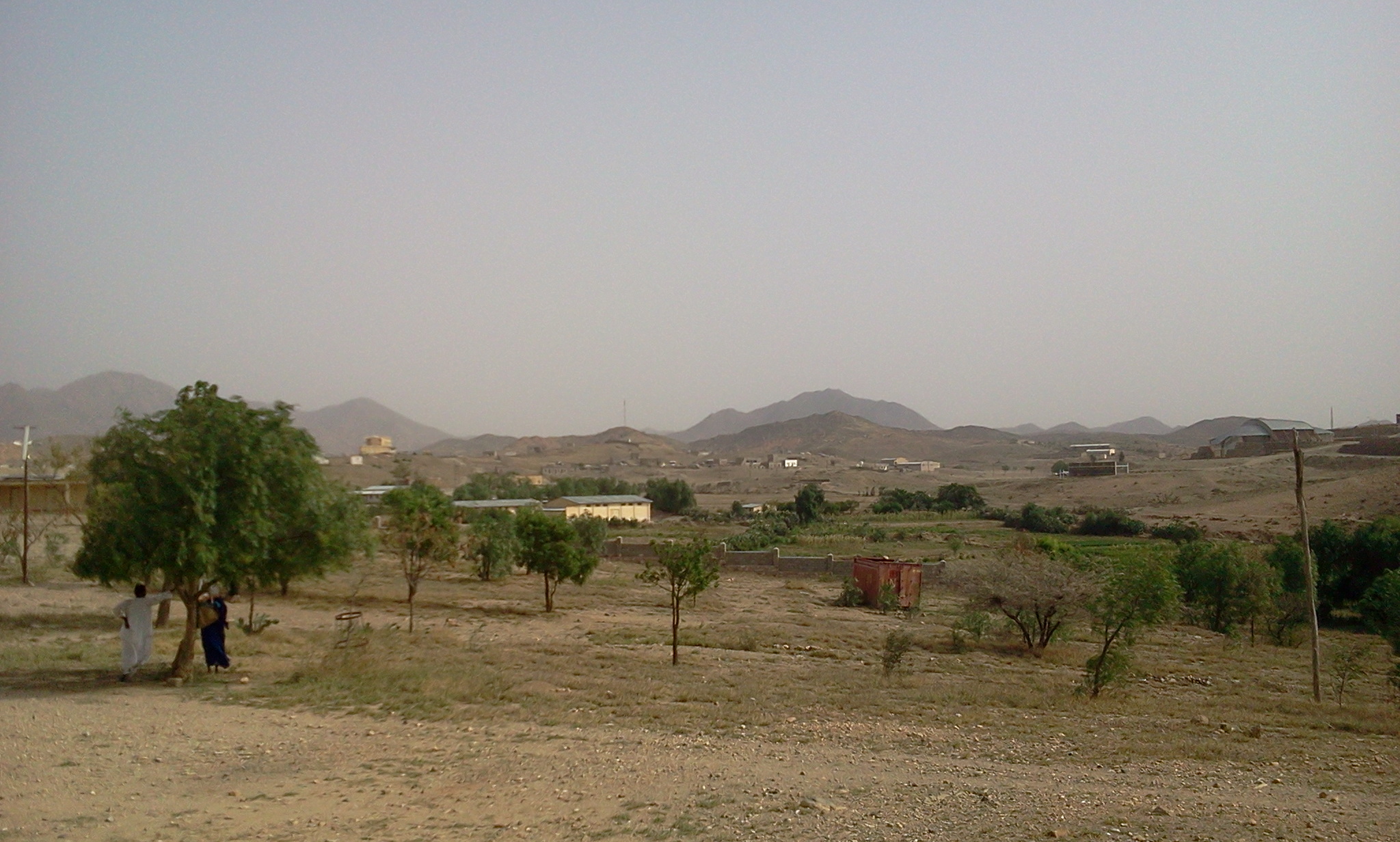
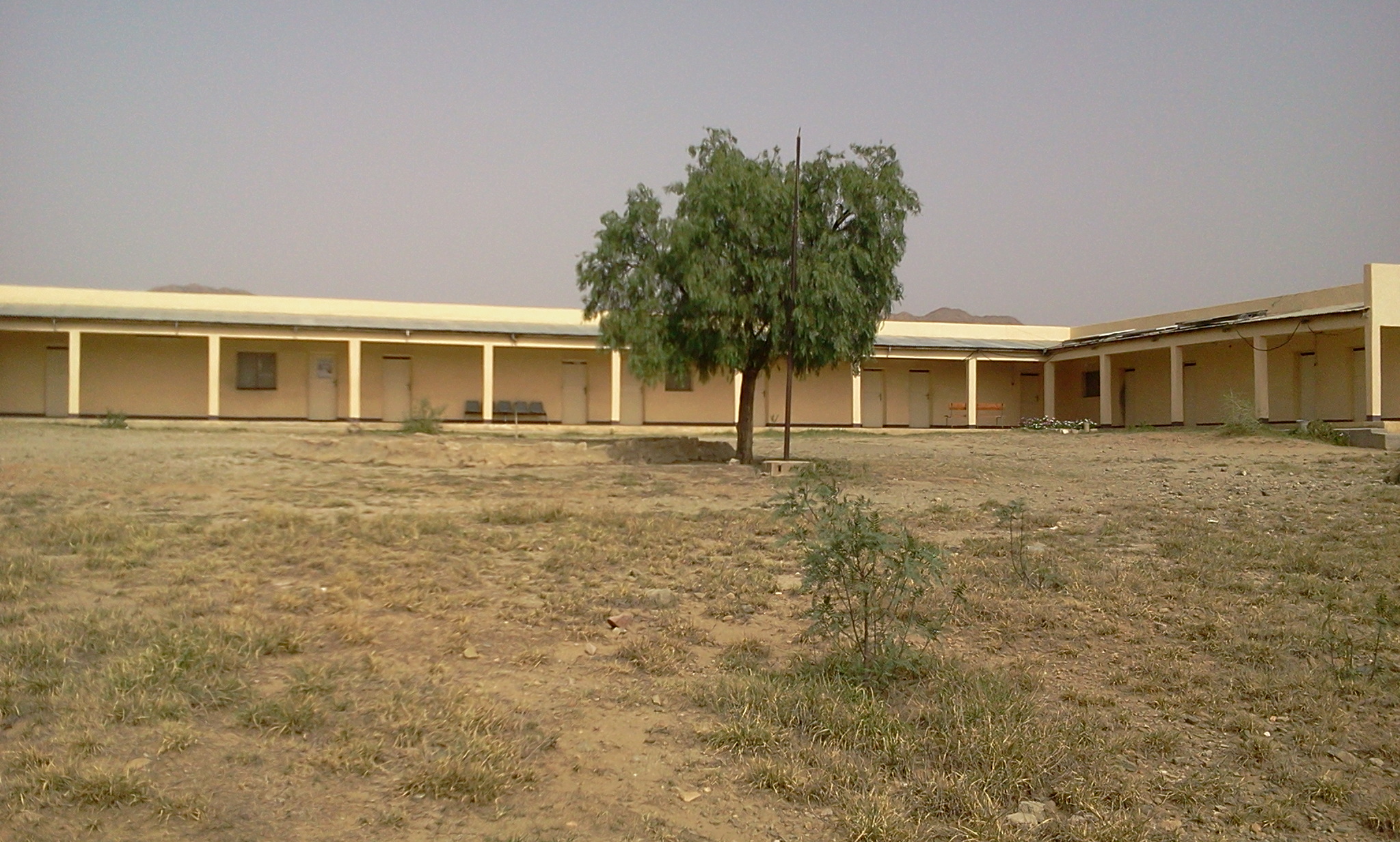
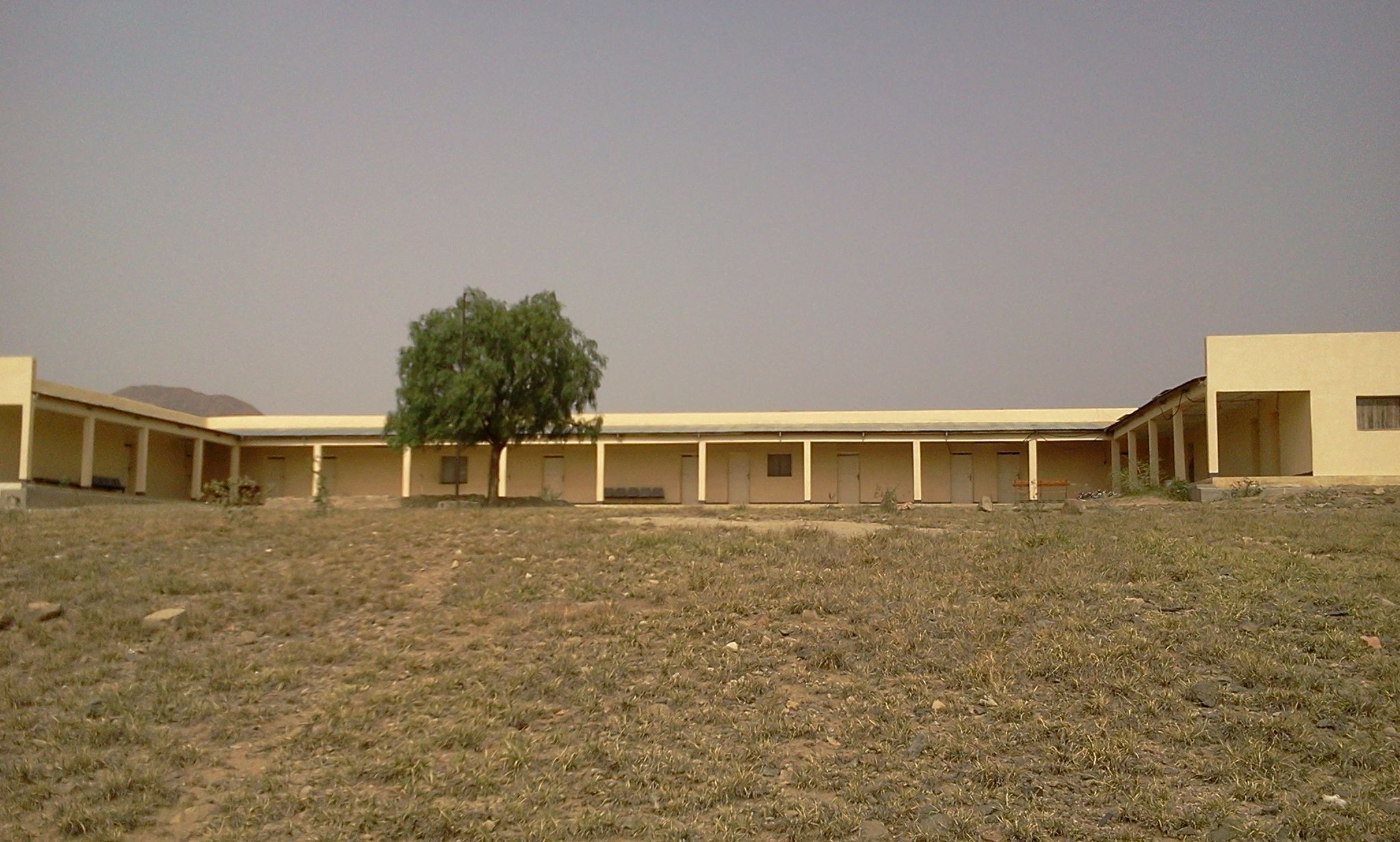
Post independence Nakfa is the capital of the Nakfa sub-zone within the Northern Red Sea. The sub-zone boasts of more than 50,000 inhabitants. In the sub-zone has six kindergartens, six elementary schools, three boarding schools and one high school (the Tsabra Senior Secondary). With regards to health services there is one hospital, two health centers and six clinics.
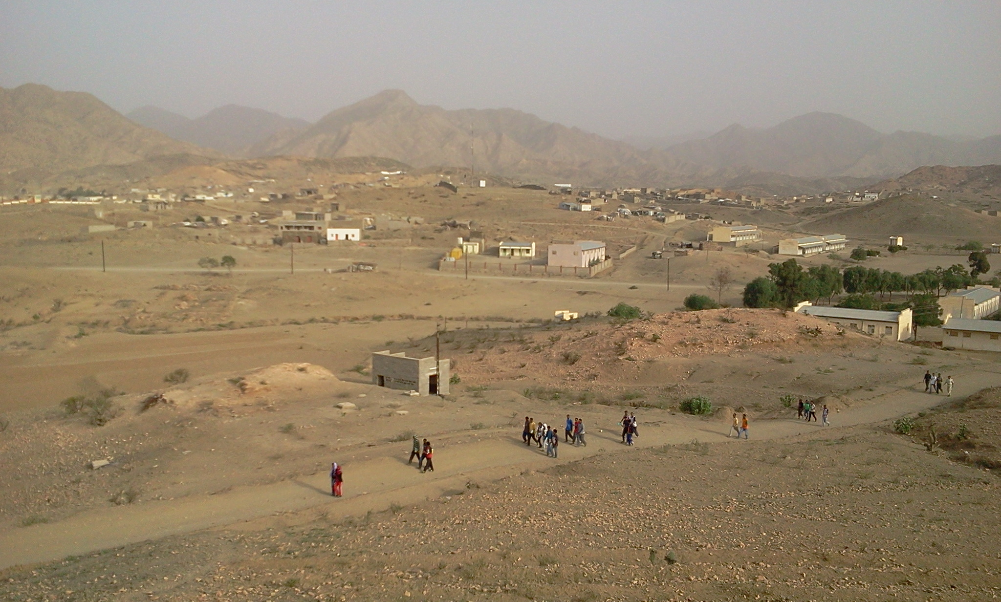
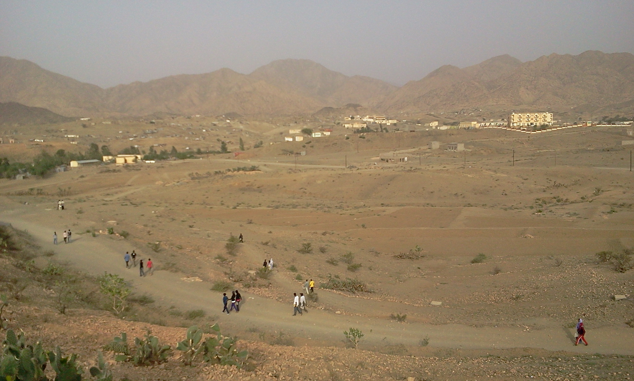
Nakfa is a growing and remains as a symbol of Eritrea’s tenacity and self-reliant resilience. Several Congresses are held in Nakfa chief among them the February 1994 EPLF’s 3rd Congress. It was at this Congress that the EPLF renamed itself, the People’s Front for Democracy and Justice (PFDJ). The PFDJ’s School of Social Science (Cadre School) is also located in Nakfa. The historic Wina Technical School is also located in Nakfa. Nakfa also have a modern three-story hotel.
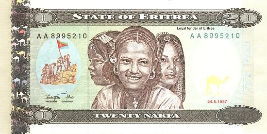
In honor of the symbolic importance of the town of Nakfa played in the Armed Struggle for Independence, Eritrea’s national currency is named the Nakfa. In the paper denomination it comes as 1, 5, 10, 20, 50 and 100 Nakfa. On one side of each note are pictures of children, women and men representing the nine ethnic groups of Eritrea, three in each note. One the other side of the Nakfa notes are pictures depicting Eritrea’s past and vision. The Nakfa notes were designed by an African American artist, Clarence Holbert.
The Nakfa coins come in 1, 5, 10, 25, 50 and 100 cents. On one side of each coin is the iconic image of Eritrean fighters raising the 5-pointed EPLF flag on a mountain top, with the inscription 1991 and “Liberty, Equality and Justice” written below. On the reverse side of the 1, 5, 10, 25, 50 and 100 cent coins, respectively parade animals indigenous to Eritrea, an ibex, a leopard, an ostrich, a zebra, a gazelle, and and an elephant with her calf.